MapMaker
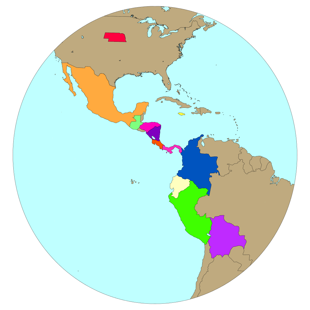
Create climate parameter maps from downscaled climate change scenarios for Latin America and the Caribbean.
Make MapsVerify

Compare model output to observations to determine how well the model conforms to the present-day climate.
Verify ResultsTime Series

Graph climatologies for historical, present-day, and future downscaling model runs.
Graph ClimateIndices
Graph climatologies of standard climate indices from observations and downscaling model runs.
Graph IndicesChange Factor

Scale projected climate change to intermediate periods using a Change Factor (δ) method.
Scale ClimateDownload

Select data from various downscaled scenarios and download for further analysis and plotting.
Get Data